PLatform
Enhance risk management and data analysis with powerful features
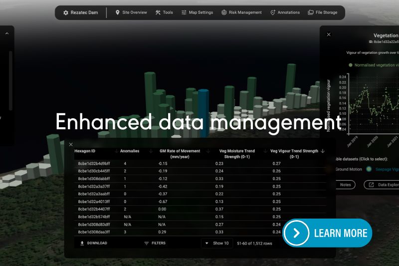
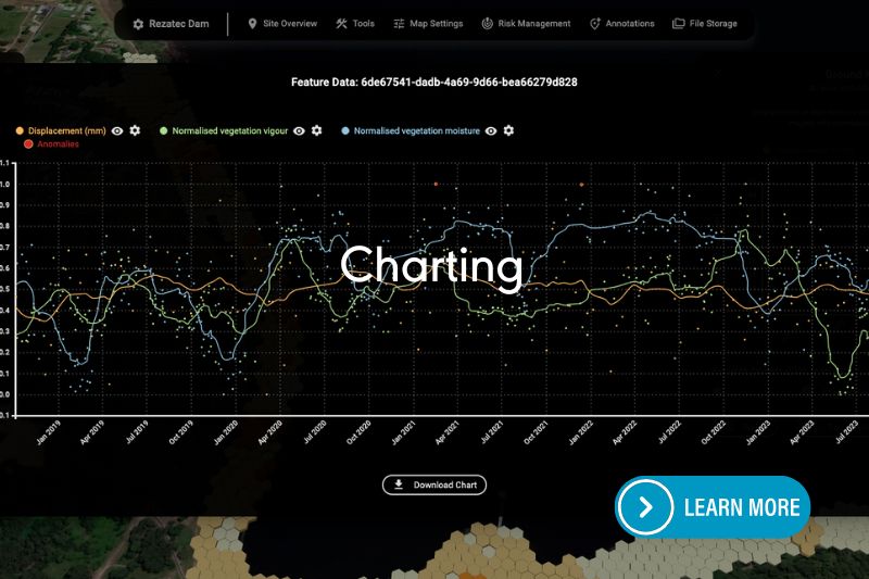
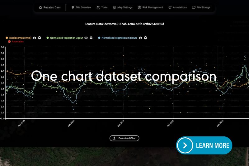
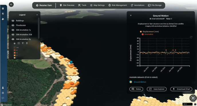
Transform the way you manage and analyze data with innovative features designed to streamline your processes and deliver deeper insights. Our advanced vegetation data processing allows you to quickly spot changes and trends, helping you make faster, more informed decisions. And by comparing multiple datasets in one clear, interactive chart, you can easily uncover connections between ground motion and vegetation health, providing you with a more comprehensive understanding of your environment.
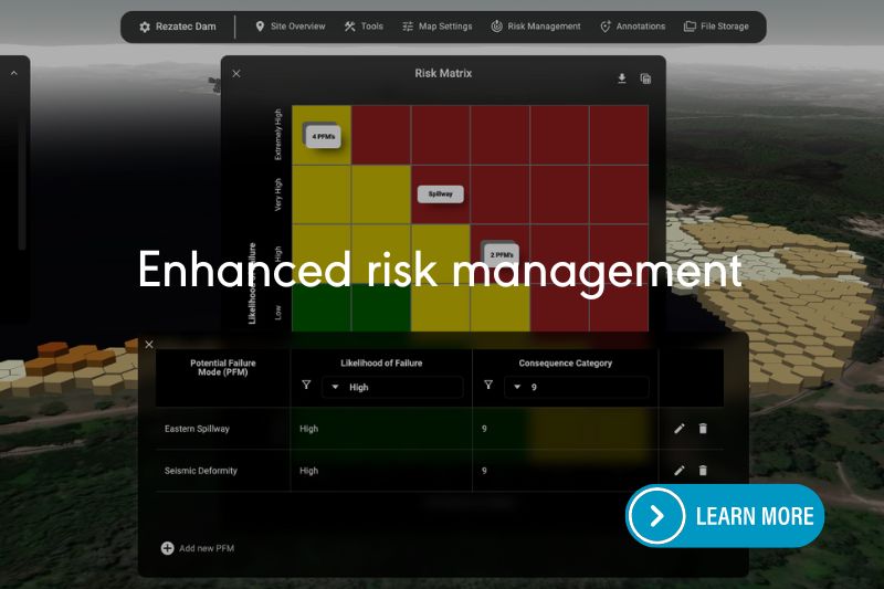
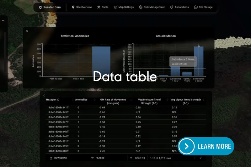
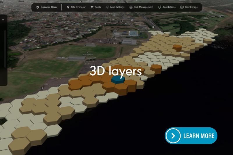
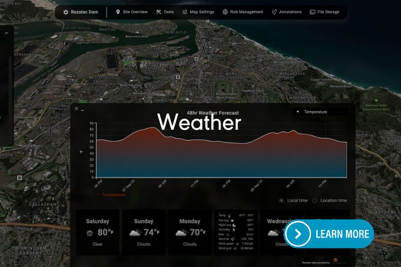
Managing dam data is now simpler and more efficient, with all the information you need at your fingertips. Instantly access comprehensive site details, analyze key data, and explore your sites in 3D for better context and clarity. These intuitive tools enable you to take a proactive approach to risk management by visualizing potential failure risks and staying on top of mitigation efforts. With the ability to assign tasks and track progress, you can ensure that your team stays aligned and actions are completed efficiently.
Watch the videos to experience the power of streamlined data management and risk-informed decision-making.
Advanced Analytics at Your Fingertips
Rezatec’s user-friendly, secure, web-based geospatial platform makes accessing and analyzing your pipeline risk data straightforward and effective. Gain detailed insights through interactive visualizations and powerful analytical tools.
- Interactive mapping and geospatial analysis
- Real-time data filtering, sorting, and summarization
- Collaborative communication through built-in messaging and alerts
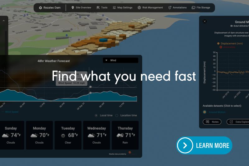
- Integration of external datasets such as seismic, weather, and wildfire information
- And more…
Harness Machine Learning
Rezatec leverages advanced machine learning algorithms, trained specifically on your network’s historic failure data to deliver the most accurate pipeline failure predictions available. The model combines the network data e.g. age, material etc with environmental datasets and identifies the signature of failure for that specific network. This means each utility benefits from tailored predictions, uniquely suited to local conditions and asset characteristics.
Geospatial Intelligence
Rezatec visualises data geospatially to provide new insights for utility leaders. It integrates diverse geospatial datasets—including satellite radar, optical imagery, soil characteristics, environmental factors, and infrastructure conditions—to provide a more accurate failure prediction, to map the consequences of that failure and to pick up what more traditional methods often miss. These insights put Rezatec’s customers ahead of the curve for proactive network management.
Explore Our Insights on Geospatial Analytics

Speak to us today
Our team is here to answer your questions. We’re excited to help you explore how geospatial analytics can support your business. Just fill out the form and we’ll get back to you.

