Reforestation
Maximize Future Inventory Value with Precision Reforestation
Streamline Forest Establishment Monitoring and Management
Traditionally, forest establishment monitoring has depended heavily on costly aerial surveys and ground-based assessments. This method is expensive and resource-intensive, making efficient management challenging over large geographic areas.
Optimized Silvicultural Interventions Powered by Geospatial Analysis
Rezatec’s Reforestation solution delivers remote, cost-effective monitoring of crop establishment and competing vegetation, providing precise guidance on where and how to act.
Monitor establishment progress across your entire portfolio.
Receive reliable insights on young inventory growth at scale. Identify where establishment progress is slow and where competition intensity is high, enabling quick remediation of areas with establishment issues.
Accurately target silviculture activities like brushing and weeding.
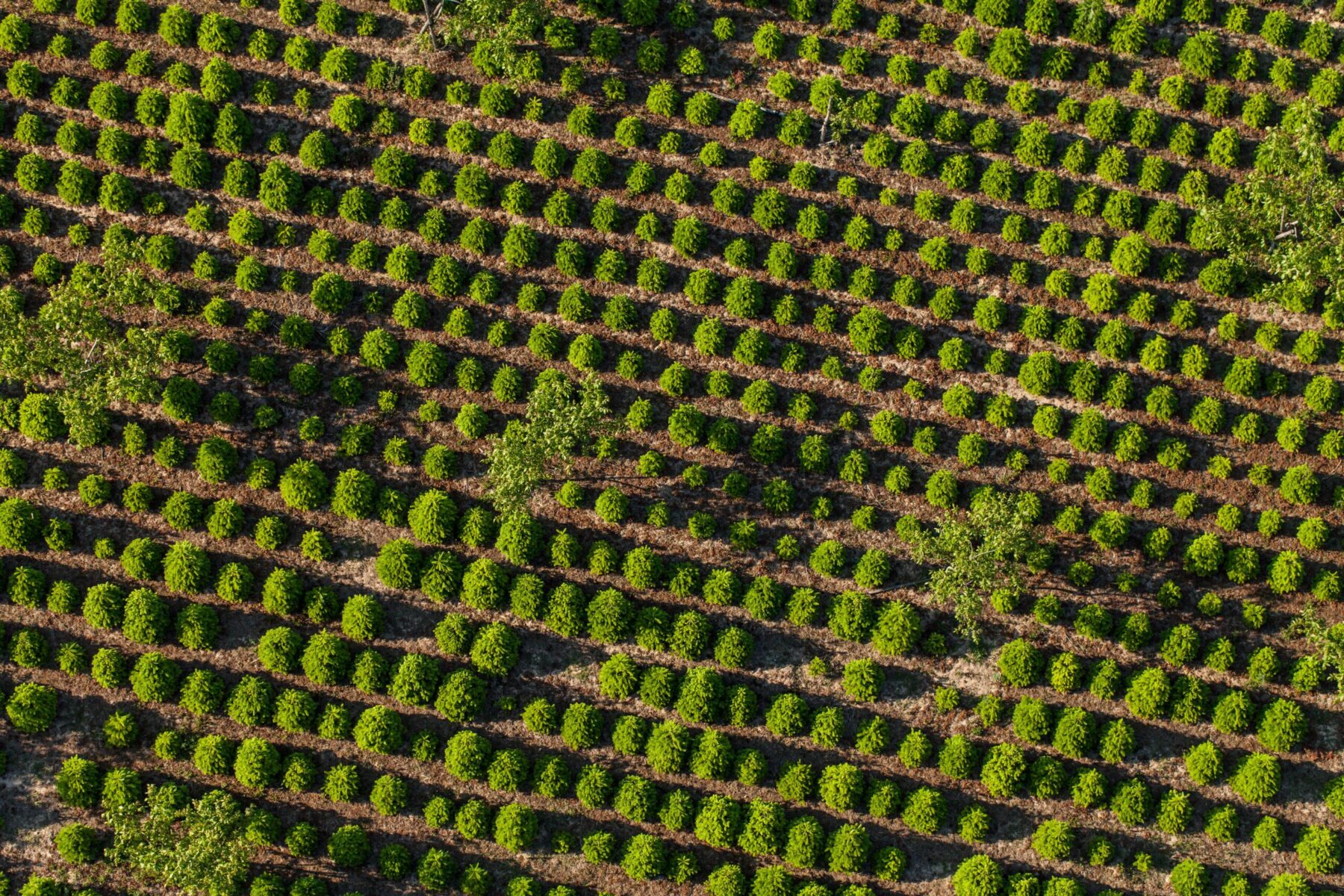
Remotely analyze seedling establishment within plantations and reduce excessive competition from non-crop vegetation over the first 1-5 years. Identify where establishment is patchier and intervention maybe required to treat undesirable vegetation.
Measure and optimize herbicide effectiveness dynamically.
Continuously assess and calculate the impact of herbicide treatment programs to quickly identify where treatment has been ineffective to ensure swift establishment and reduce overall herbicide usage by targeting only necessary areas. Reduce the net treatment area by as much as 15%, cutting down herbicide application and realizing huge cost savings.
Key Advantages of Our Solution
Why Choose Rezatec Reforestation?
Remote and cost-effective monitoring
Cut costs dramatically by reducing dependency on aerial surveys and ground crews through accurate, remote analytics.
Integration with existing GIS platforms
Seamlessly incorporate Rezatec’s detailed analytics into your existing systems, ensuring a smooth transition and enhanced operational efficiency.
Precision intervention
Analysis on crop establishment and competing vegetation at scale, ensures optimal intervention at exactly the right locations.
Streamlined silvicultural decision-making
Improve operational decisions with clear, actionable insights, reducing operational complexity and resource waste.
Rezatec Geospatial Platform
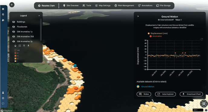
Quick to sign up, and easy to add your data, our platform gives you 24/7 secure access to your data from anywhere. The platform features advanced visualisations that allow you to map, analyse, and interpret your insights with ease. Powerful interactive tools enable you to explore, filter, and interrogate your data, helping you make informed decisions with greater accuracy and confidence.
- Data overlaid on maps
- Compare data geosptially and over time in charts
- Filter and sort tables to identify the plots you need to visit
- Integrate seismic, weather and wild-fire alerts
- And more…

Satellite-based insights
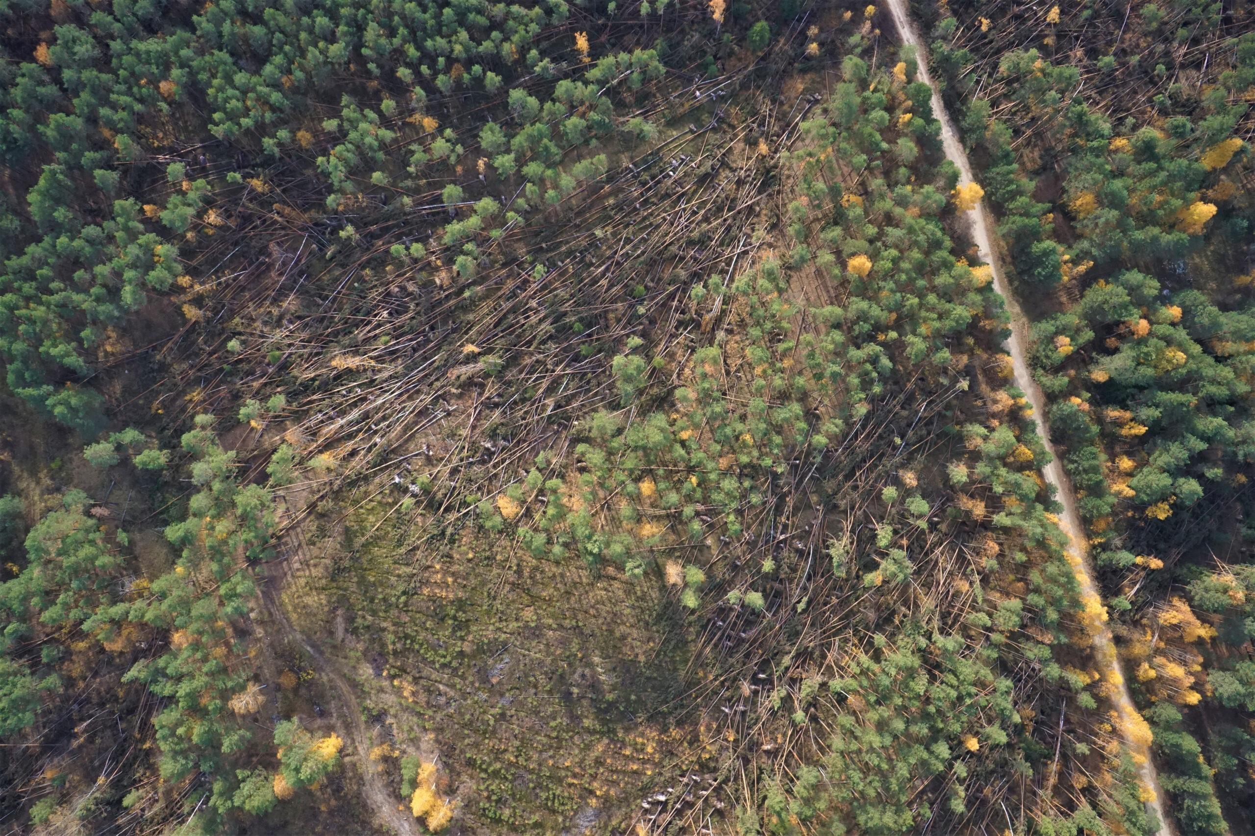
Using multispectral data from satellites, Rezatec’s model identifies spectral indices of forested and vegetated areas on the ground. The archived satellite data ensures Rezatec’s models can incorporate historical datasets and use data science to identify trends and seasonal patterns in the data and any significant negative changes in the state of the canopy cover. Frequently refreshed data from each orbit every 5-12 days facilitates remote monitoring of the changing state of the forested assets over time.

Explore Our Insights on Geospatial Analytics
Trusted Globally for Forest Monitoring
“New Forests requires accurate and precise forest inventory to quantify climate benefits from managing forests sustainably. Rezatec’s platform provides improved efficiency in field data collection, resulting in timely, accurate and spatially resolved results that meet our due diligence and business development needs.”
Peter Tittman, Investments Analytics Manager, New Forests.
“Forsite is really excited about the innovative capabilities that satellite data can now provide to the forestry sector … we can enable our clients to be more productive, more efficient and more profitable”
Cameron Brown, Forsite Consultants
“Rezatec provides the ideal remote sensing tool to capture robust metrics for canopy connectiveness, helping us measure how the project is improving nature across a wide area for the long term”
Annie Murray, National Trust

Speak to us today
Our team is here to answer your questions. We’re excited to help you explore how geospatial analytics can support your business. Just fill out the form and we’ll get back to you.


