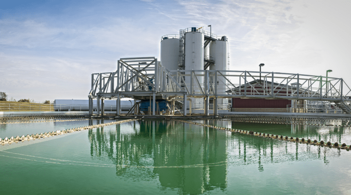
WaterOne is a major Kansas utility that serves 450,000 customers across a 272-square-mile service territory. Beginning in 2003, the utility has used geographic information systems (GIS) technology to manage its infrastructure, adding global positioning system (GPS) mapping in 2010. More recently, it has started to employ geospatial intelligence and machine learning (ML) technologies such as Rezatec’s Pipeline Risk product, which uses satellite imagery
and analytics to predict future maintenance needs. In this interview, Jason Beyer, WaterOne’s GIS lead, tells us about how this range of technologies is helping the utility retool for future success.
Read the full article in Municipal Water Leader