
by Rebecca Edwards | Apr 17, 2025 | Dam Monitoring
InSAR Satellite-based InSAR for Ground Movement Monitoring. What Is InSAR? Ground Movement Detection with Satellite Precision Conventional ground movement monitoring relies on specialist equipment and expert surveyors, with varying precision and limited coverage....
by Rebecca Edwards | Apr 11, 2025 | Dam Monitoring, Webinars
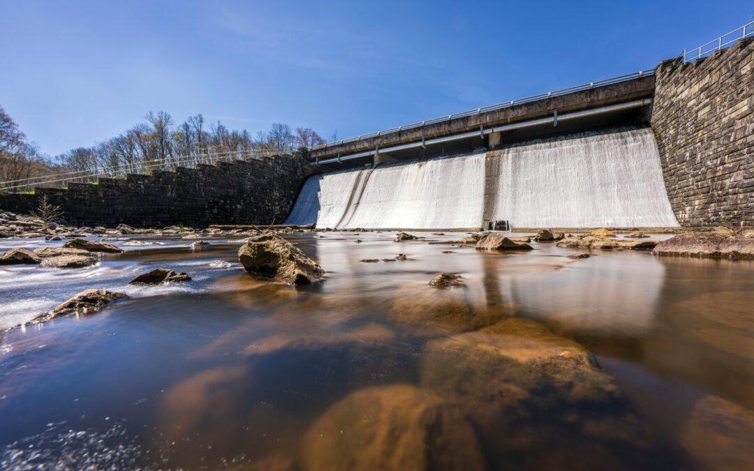
Dam safety demands continuous, accurate insight—and geospatial analytics makes it possible. This webinar explores how satellite data enables digital dam monitoring that enhances structural oversight, improves risk detection, and helps prioritize maintenance across...
by Rebecca Edwards | Apr 8, 2025 | Dam Monitoring, Webinars
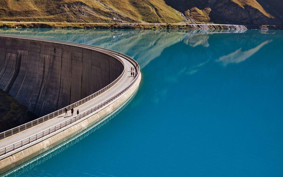
The New Hampshire Department of Environmental Services (DES) is using geospatial analytics for dam safety to improve monitoring, prioritize inspections, and reduce risk across its portfolio. Learn how satellite-based insights are transforming how dam infrastructure is...

by Rebecca Edwards | Mar 31, 2025 | Dam Monitoring, Webinars
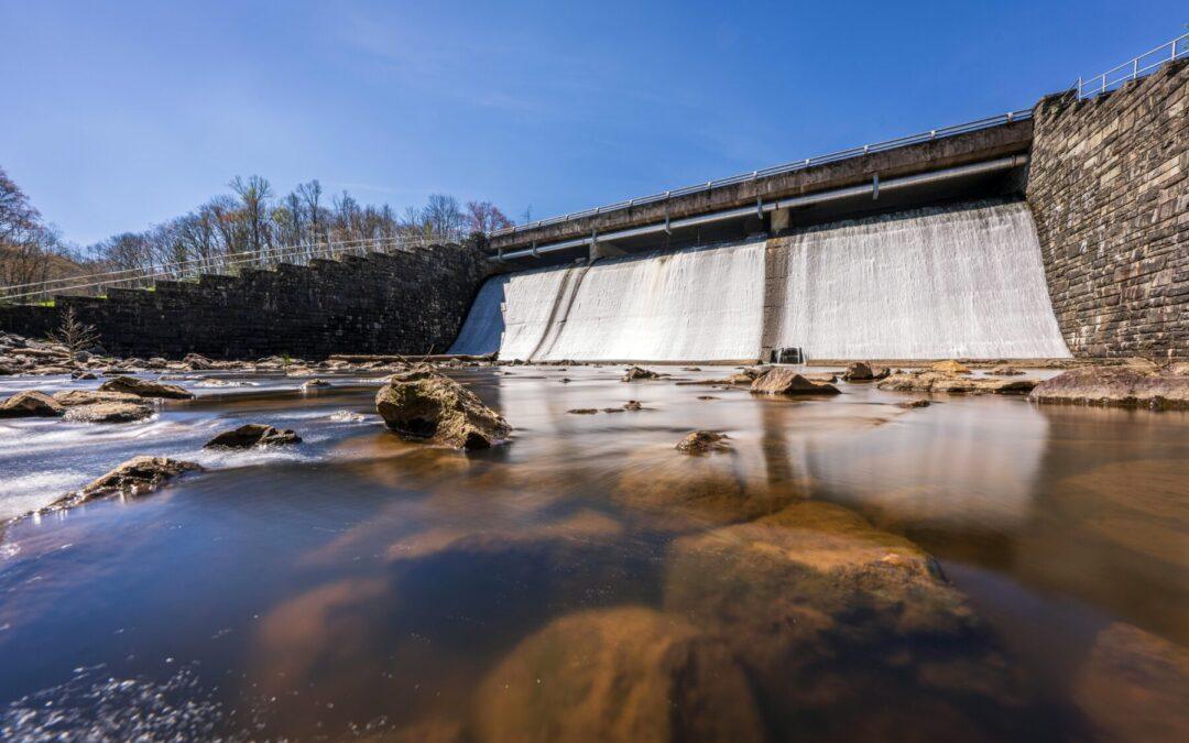
This webinar delivers key insights into the capability of satellite-powered Geospatial Analytics in urban change and downstream hazard monitoring, making it a must-view for dam regulators seeking innovative, proactive solutions that deliver efficiency while enhancing...
by Rebecca Edwards | Mar 31, 2025 | Dam Monitoring, Webinars
Join us to take a 30 minute deep dive into the real-life challenges dam operators face in assessing and prioritizing PFMs and evidencing risk assessment for regulatory reporting. And take a deep dive into our NEW dam monitoring platform which is helping to...
by Rebecca Edwards | Mar 25, 2025 | Articles, Dam Monitoring
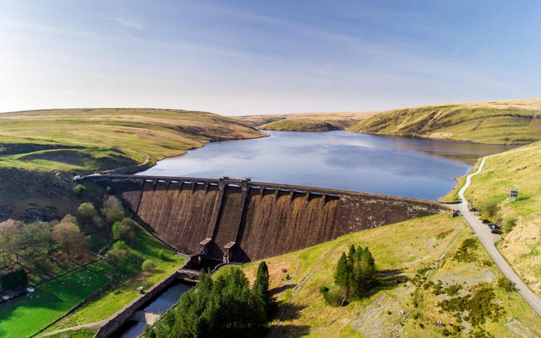
The dam industry in the UK is in changing, interesting and challenging times. The incident at Toddbrook Reservoir in 2019 has led to the drafting of new guidance for Undertakers (dam owners and operators), Reservoir Engineers and others, as well as the potential for...


